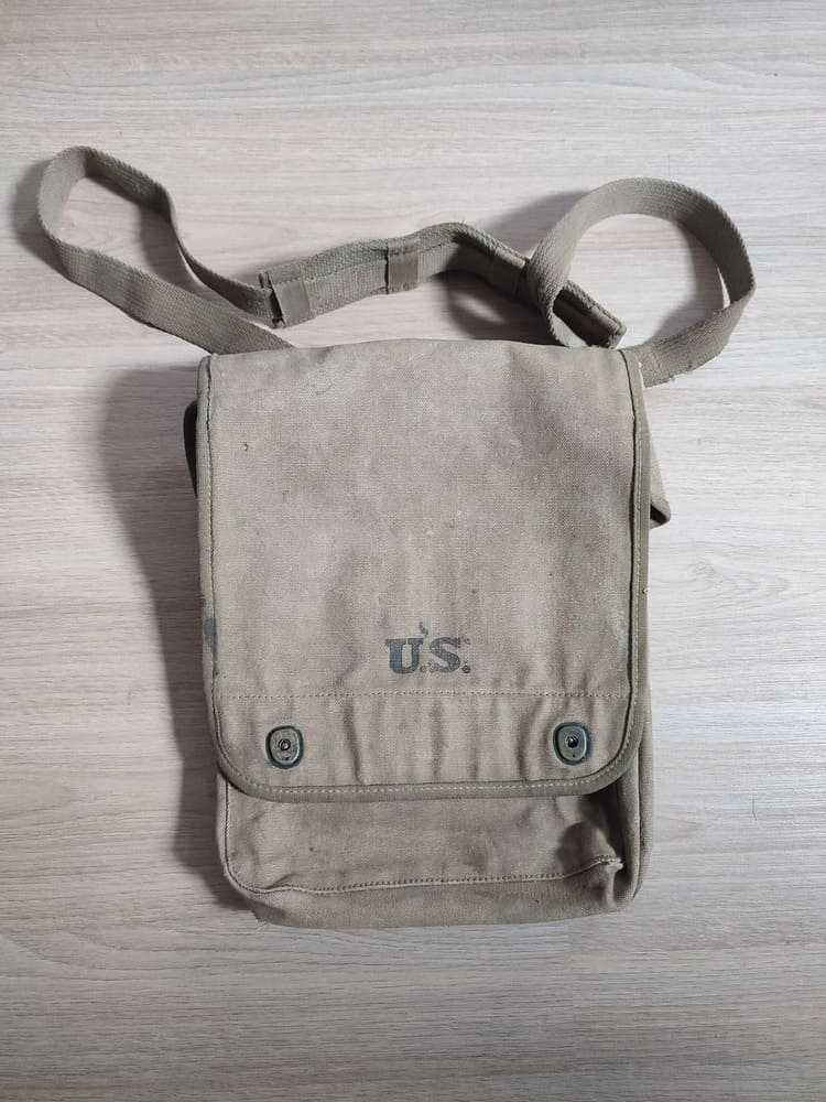
WW2 Silk Escape Map, Sheet 43 A/B
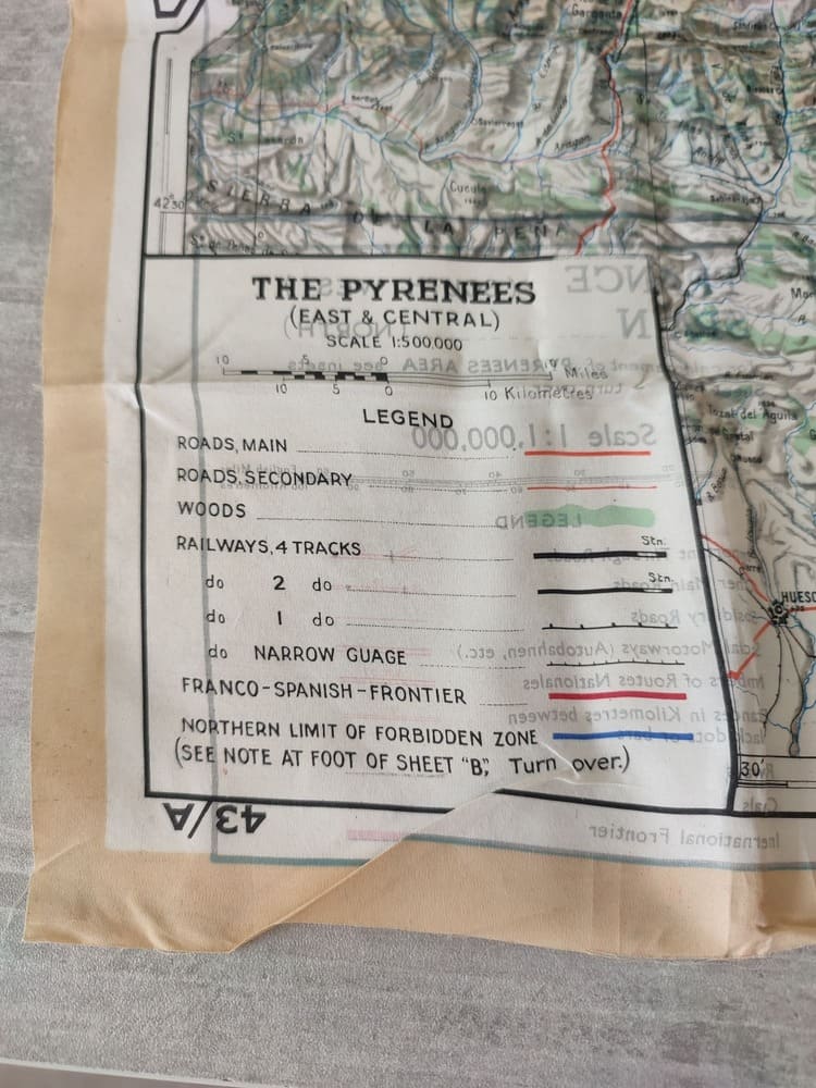
This double-sided silk escape map measures approximately 74 cm × 73 cm and was issued to Allied forces during World War II (RAF, USAAF, SOE, Airborne).
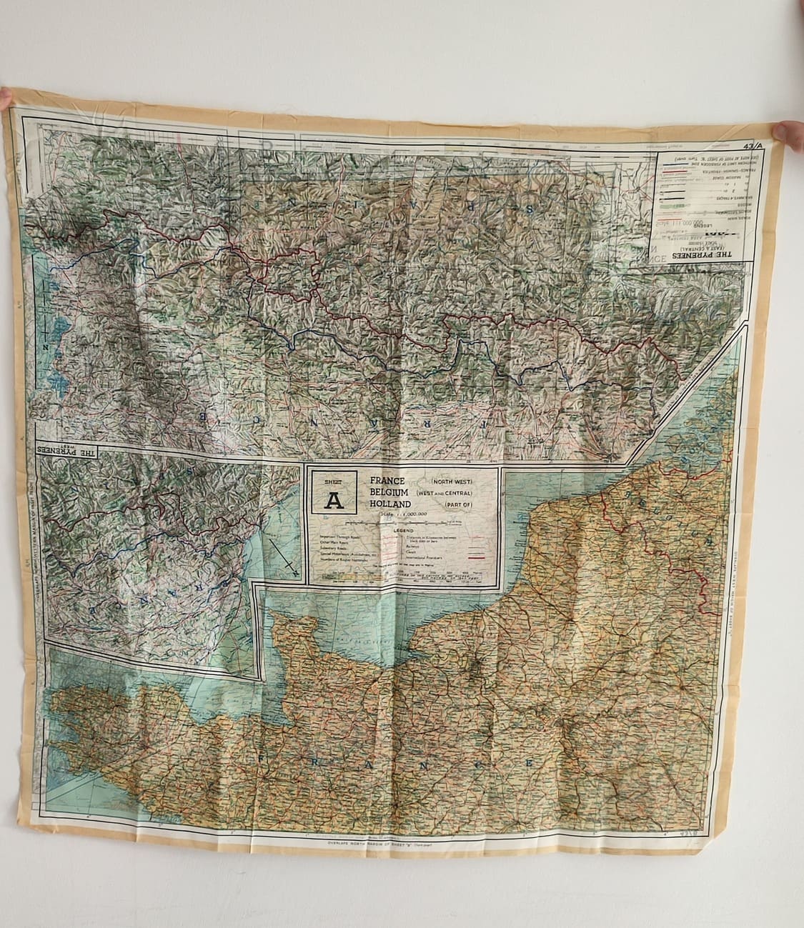
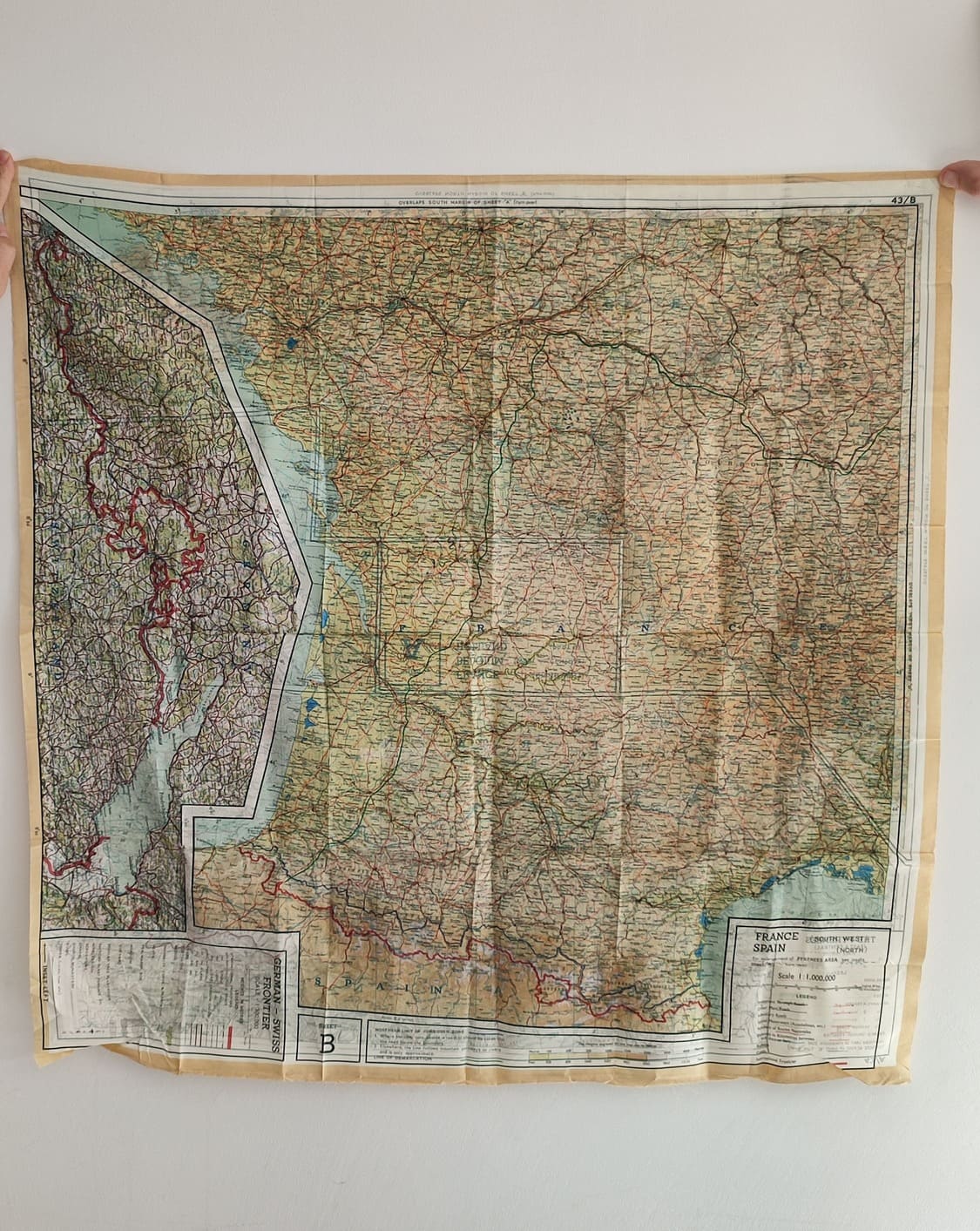
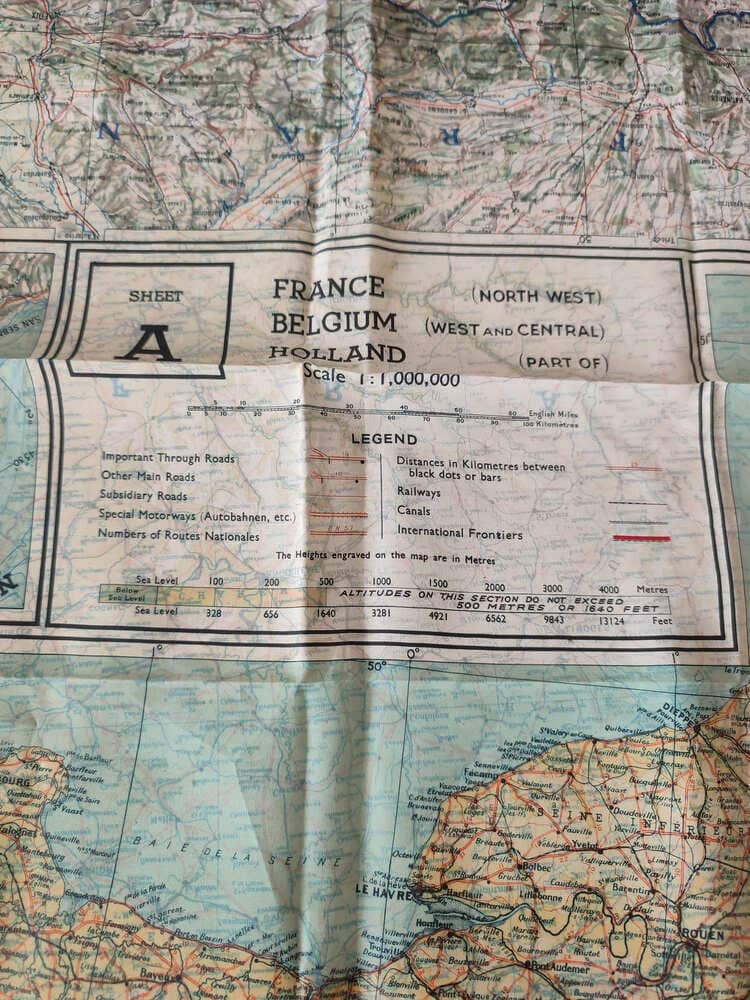
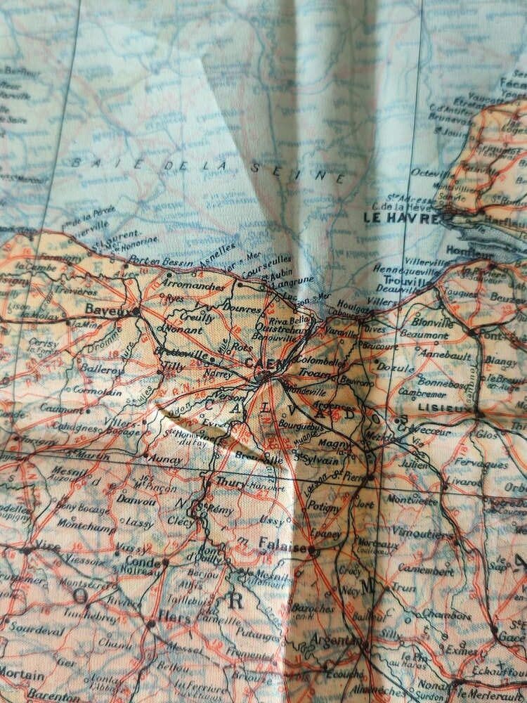
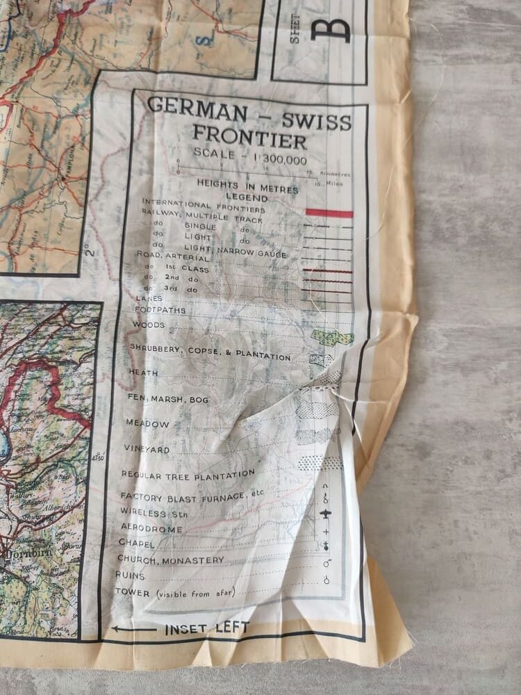
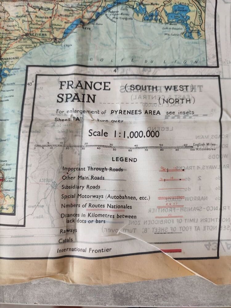
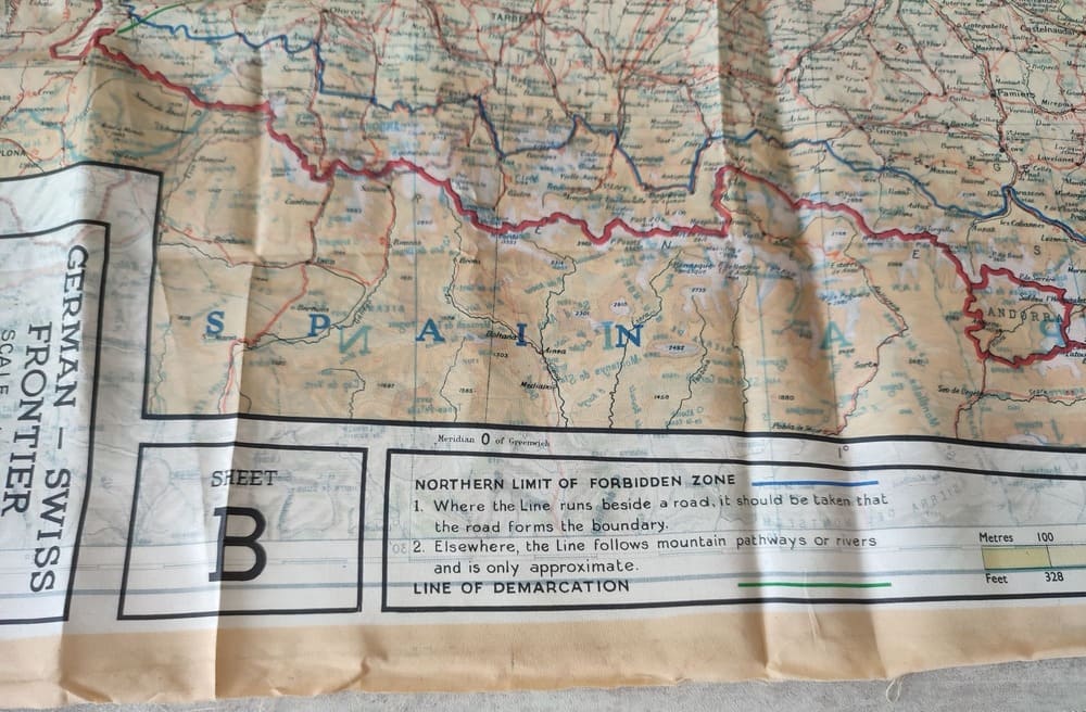
Side A covers North-West France, West & Central Belgium, parts of Holland, and the Western & Central Pyrenees. Side B covers South-West France and Northern Spain, including an inset of the German-Swiss border.
The map is printed in vibrant colors, with country names in blue and cities in black. Water bodies are in blue. It includes legends, elevation scales (meters and feet), and important roads and frontiers.
Condition: Very good, with minor fraying at the edges.
Related products
-
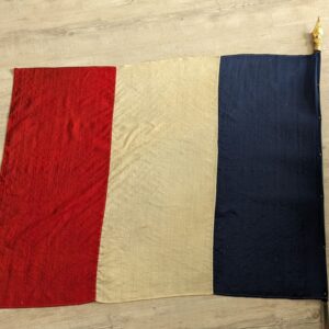
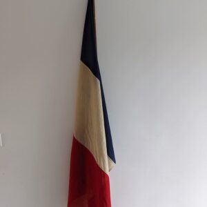
French liberation Flag of Brest from World War II
- Available, contact us